 Click on images for extended view in separate window.
If running Netscape 4.x, click here.
John L's Old Maps / Special Pages:
Click on images for extended view in separate window.
If running Netscape 4.x, click here.
|
Acting on a suggestion from historian Scott Neilsen of Superior, Wisconsin, I visited the remains of the Coppermine Dam which is located several miles downstream of the Gordon Dam on the St. Croix River. As the severe summer/fall drought brought down the water levels considerably, a fine opportunity presented itself to observe the underpinnings of this rock dam which was built for logging purposes around 1860 – possibly as early as 1853. Mr. Neilsen's e-mailed description of August 29, 2003 follows:
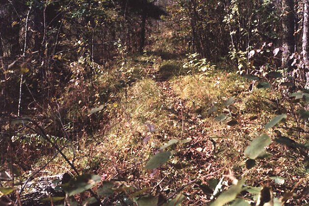
Following are some photos taken during my visits on October 4 and 10, 2003. Aiding my location of the dam was an aerial photo from Microsoft Research Maps (formerly Terraserver-USA) which is shown here. (The Microsoft Research Maps site has map images courtesy of the USGS.) On this photo, the remains of the dam at the constriction of the river are clearly visible, and the straight lines running toward the river show the location of the dikes built across the floodplain upon which (on the east side) one can walk easily from a small parking area on the road to the river. |
||||
 1 |
 2 |
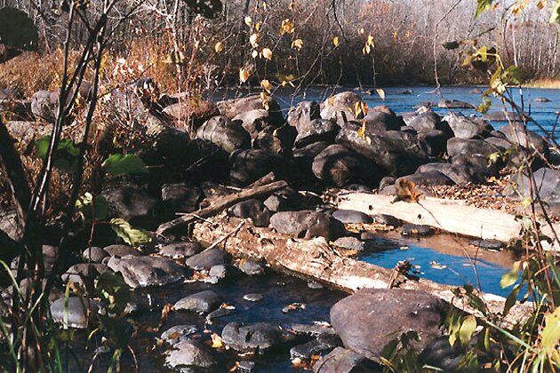
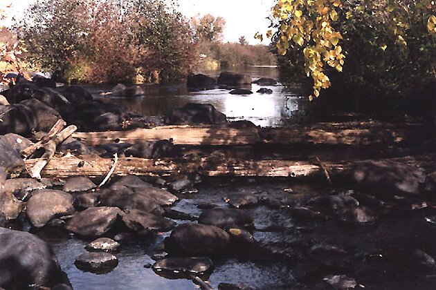
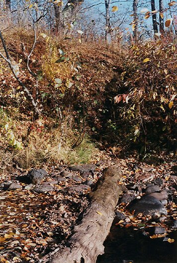
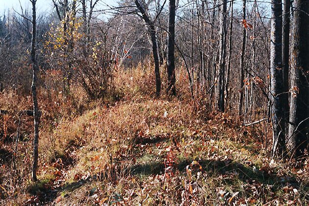
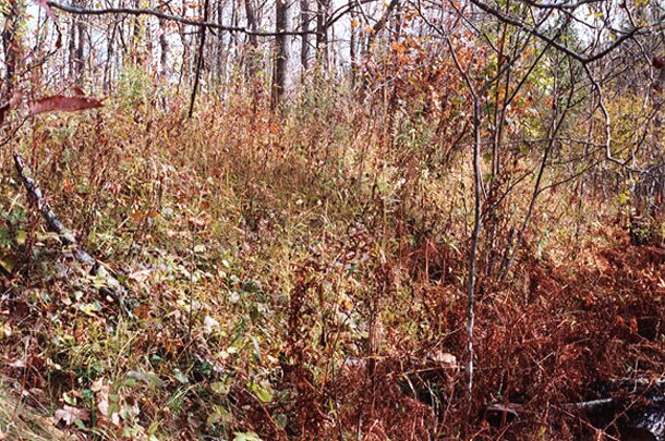
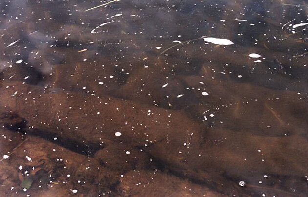
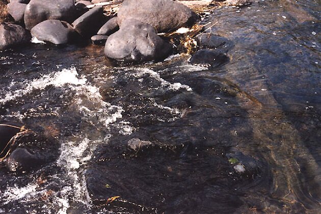
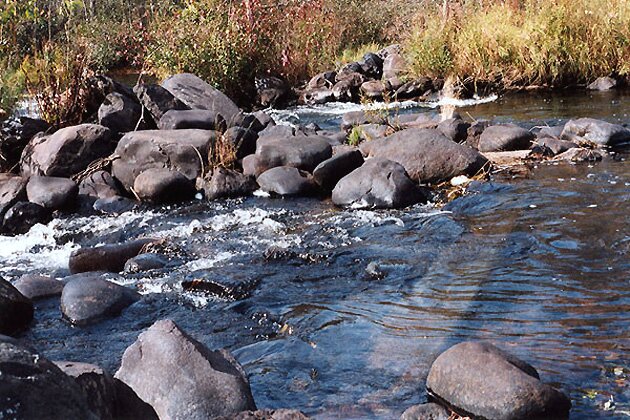
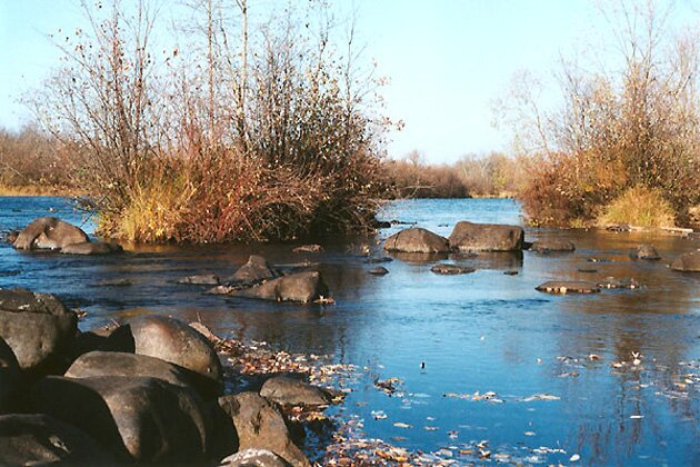
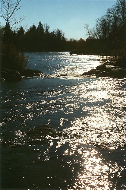
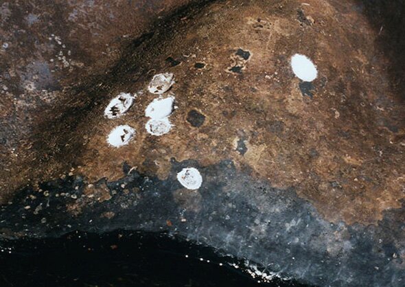
1: A panoramic view of the remains of the dam from the east side of the river. Despite the very low water level, the river was still navigable by canoe at the time. The recommended portage around the dam takes one around the other side. 2-4: The logs which connect the rock mounds with each other and the river banks can be seen here. 5-7: Here are three views of the dike running along the floodplain on the east side of the river. 8-10: Three views of submerged wooden structures. 11: Two islands just upstream appear to be additional rock mounds overgrown by vegetation. Timbers were seen on the river bottom running perpendicularly to the rock mounds of the dam. 12: A downstream view of the river against the afternoon sun from one of the artificial islands. 13: Nature's graffiti: Some peculiar white spots were noticed on one of the larger rocks in the middle of the river. A closeup view shown here reveals them more clearly as lichens. 14: Here is a close view of lichens on a more easily-accessible rock. Note the etchings left by previous colonies. A sample from the edge of one of these colones showed some flaky and striated structuring. Microscopic observation revealed fungal filaments and large oval-shaped cells without the typical greenish coloration of cyanobacteria. (This is something interesting for a microbiologist to check out. Also, one must obtain an official permit to sample or collect such things as I found out subsequently from a park biologist reading this web page!) By the following summer, all traces of these white lichens had disappeared, leaving hardly a mark on the rocks. 15: Here is a fine view of a pile of sumberged leaves, completing this series of photos taken during the peak of fall colors in this part of Northwestern Wisconsin. Additional colorful photos taken later in October, 2003 can be seen on the St. Peter's Dome/Morgan Falls page. |
||
 3 |
 4 |
 5 |
||
 6 |
 7 |
 8 |
||
 9 |
 10 |
 11 |
||
 12 |
 13 |
 14 |
||
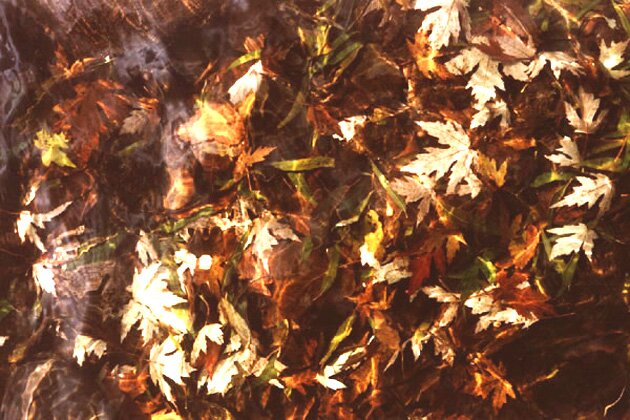 15 |
||||
|
|
Page last modified on 6/29/04 at 10:30 AM, CDT. |